|
|
|
| by Zwei | Bier | en | Korea University Campus Maps |
 |
|
Pictures Maps
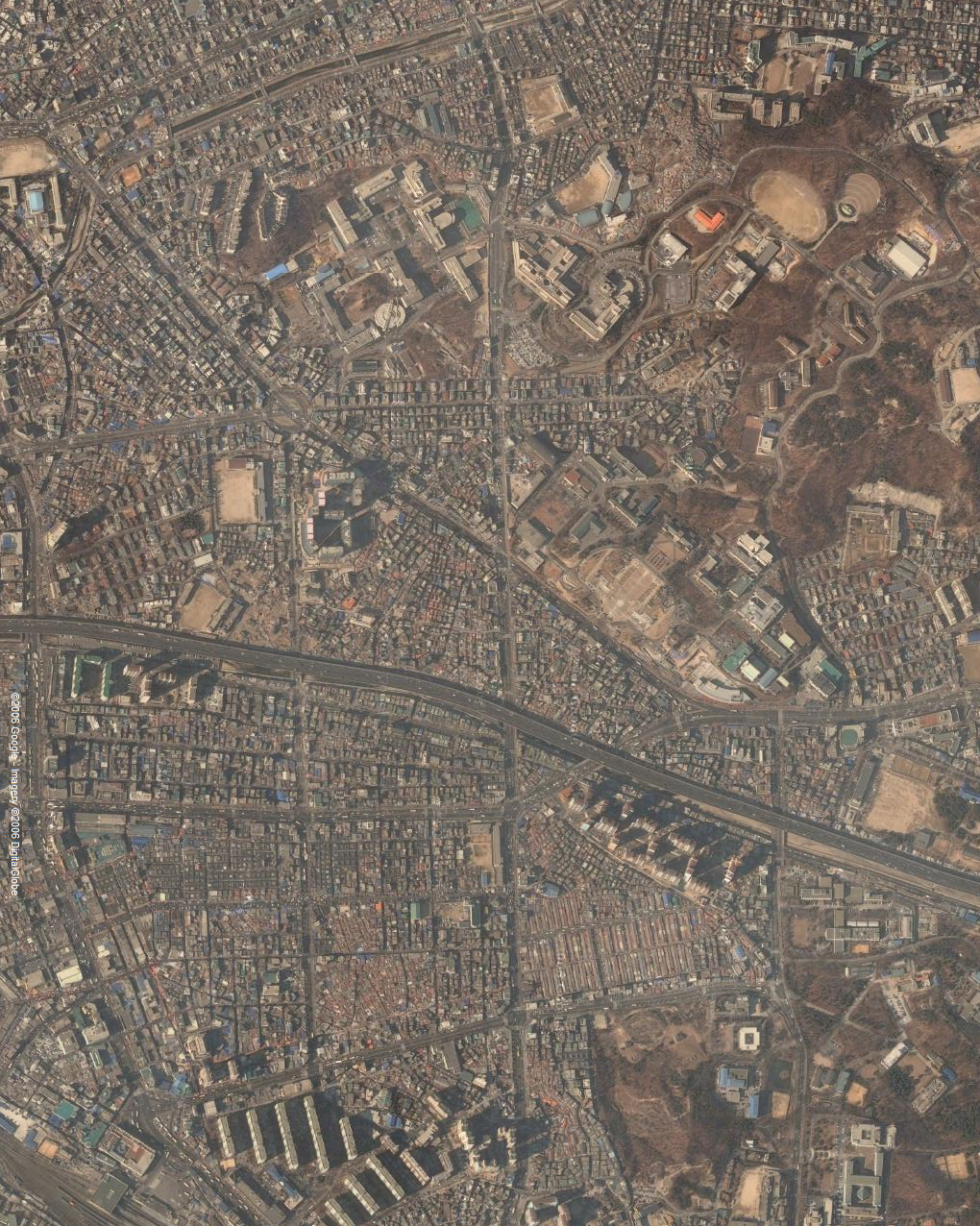
The Anam Campus of Korea
University is more or less a triangle with sides of roughly
three-quarters of a kilometer. The faculty of Summer Campus live in one
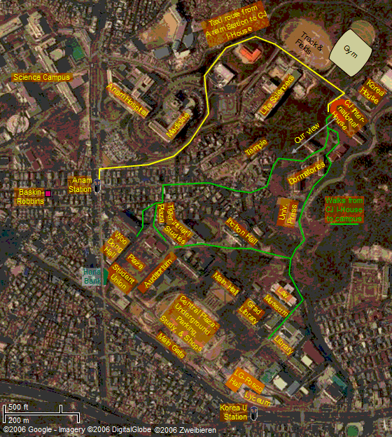
corner, have offices in a second, and teach courses in the third: 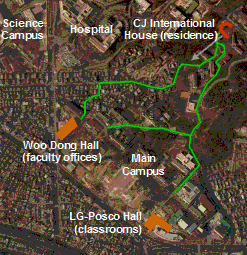 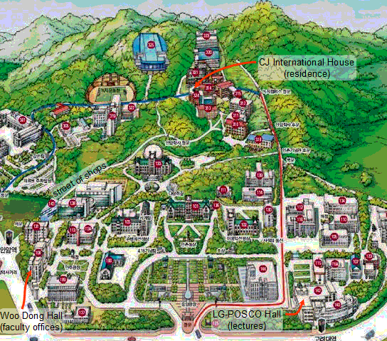 What neither map shows is that the residence hall is some two hundred feet higher than the lower campus. Out walks invovled quite a bit of uphill and down. Notice the part marked Street of Shops. We walked down there our first
day expecting forest and were a bit perplexed to find a busy shopping
area.  As an alternative I offer a bigger version of a map based on Google satellite imagery. If you want to annotate it for yourself, you can download it as a big Powerpoint file. Or download a patched together satellite image of the entire Anam area. |
| Copyright © 2016 ZweiBieren, All rights reserved. | Mar 22, 2016 01:42 GMT | Page maintained by ZweiBieren |


|